Monitoring Avian Productivity and Survivorship (MAPS) is a continent-wide program that involves banding during the songbird breeding season to understand population changes in order to conserve birds and their habitats. MAPS is coordinated by the Institute for Bird Populations (IBP). The LSLBO operates four MAPS stations following protocols established in the 1998 MAPS Manual and all updates to the MAPS Manual since.
In terms of passerines and other small landbirds, MAPS is the only avian monitoring program that offers estimates of productivity (young produced), recruitment (young returning to breed), and survival (adults returning to breed) at the landscape level. Without this critical data, it’s difficult to determine to what extent habitat changes on the temperate breeding grounds versus those on the tropical wintering grounds are responsible for changes in populations of neotropical migrants. Temporal and spatial analyses of such population trends using MAPS data are available at the IBP’s Vital Rates of North American Landbirds.
Since birds will return to the same breeding location where they successfully bred in previous years, the MAPS program generates most of our longevity records as breeding birds are banded one year and then return year after year to be recaptured in our MAPS nets.
In 2024, due to documented shifts in spring migration, possible advancements in the breeding season, and operational constraints, the MAPS program was shifted to begin ten days earlier when captures are lower and fewer species are actively migrating than the late MAPS season, as outlined in our proposal and approved by the IBP.
Additional Information
Researchers may request our MAPS data from ourselves or from the IBP. If you are a researcher wondering if our data is right for you, please review our detailed Lesser Slave Lake Bird Observatory Standard Operating Protocol, and request LSLBO data or collaboration.
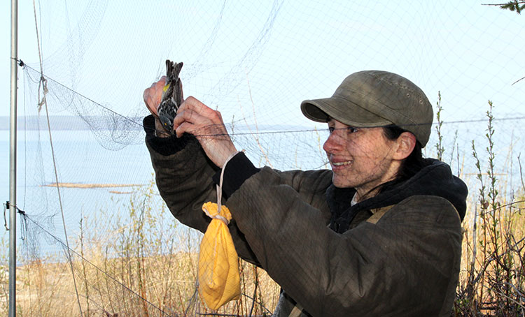
Nicole Linfoot extracting a Myrtle Warbler